
An app for iPhone and iPad
AeroPlan
Everything a VFR pilot needs for a pre-flight briefing, in one app. Once airborne, it works as a supplementary navigation tool.


What's inside
Airspace
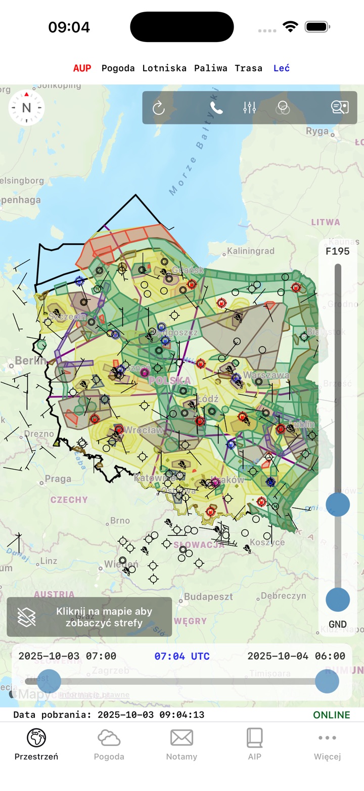
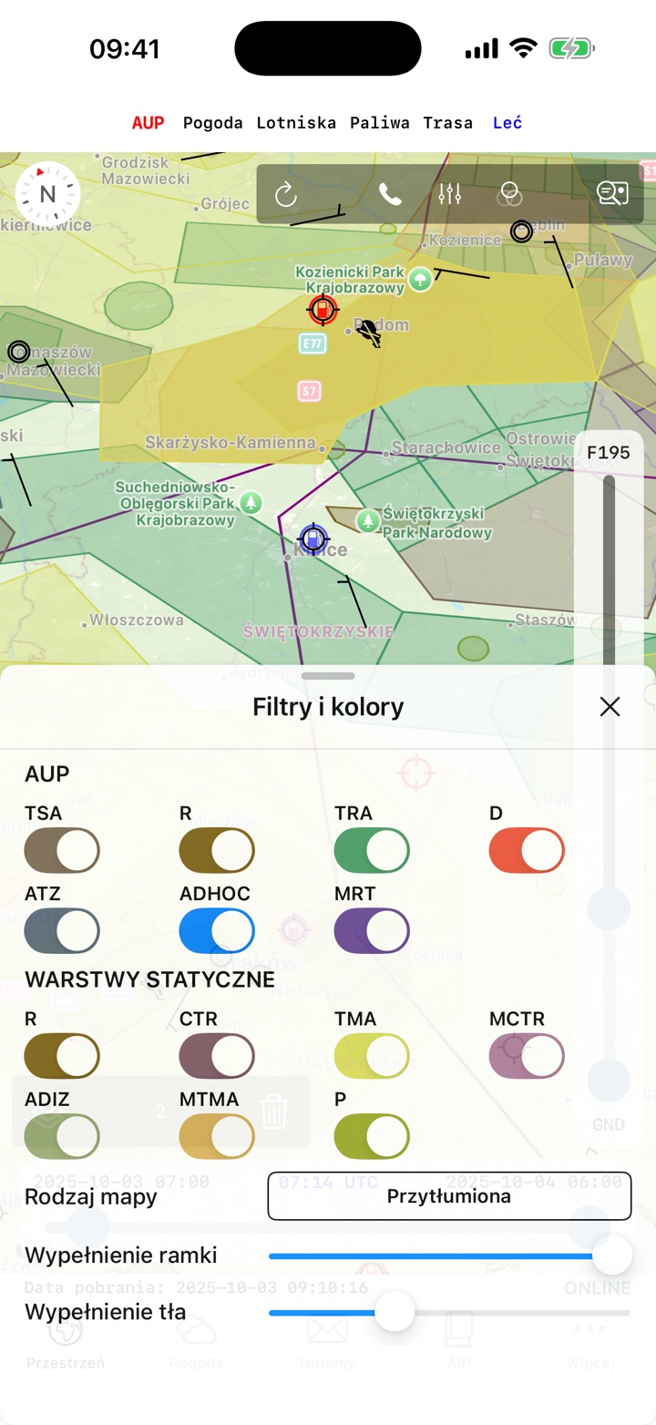
- Polish airspace on an interactive map
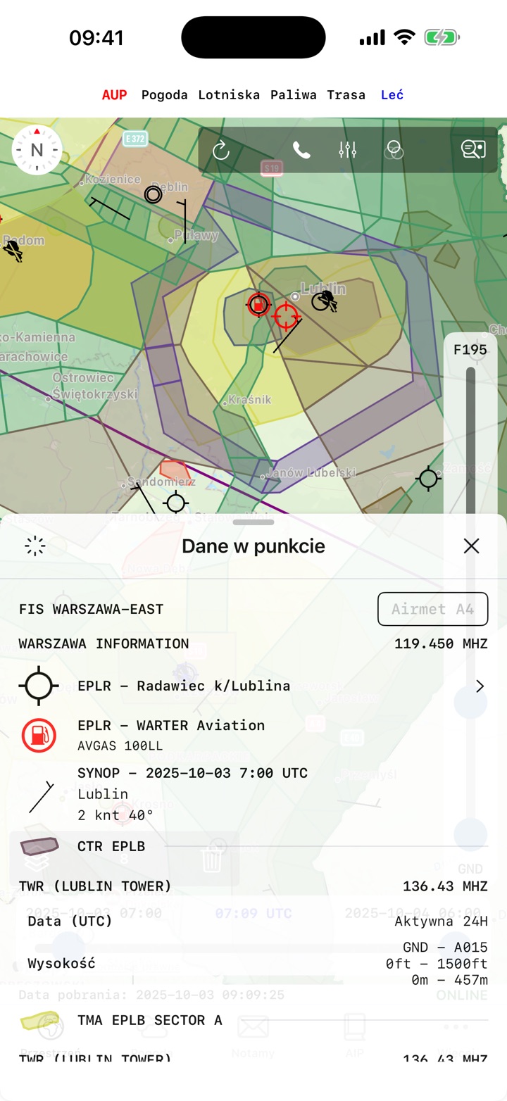
- aerodrome data, VFR points and ATZs
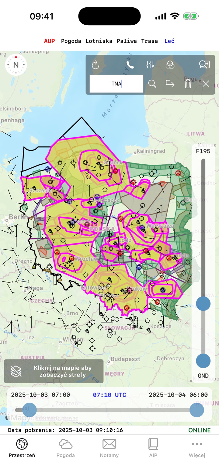
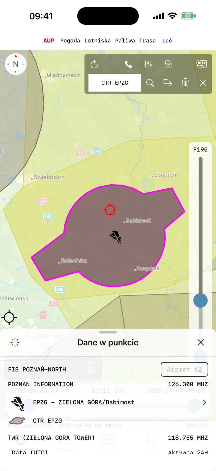
- zone search by name or type (CTR, TSA, TRA, MATZ)
- zone details on a double tap on the map
Aviation weather
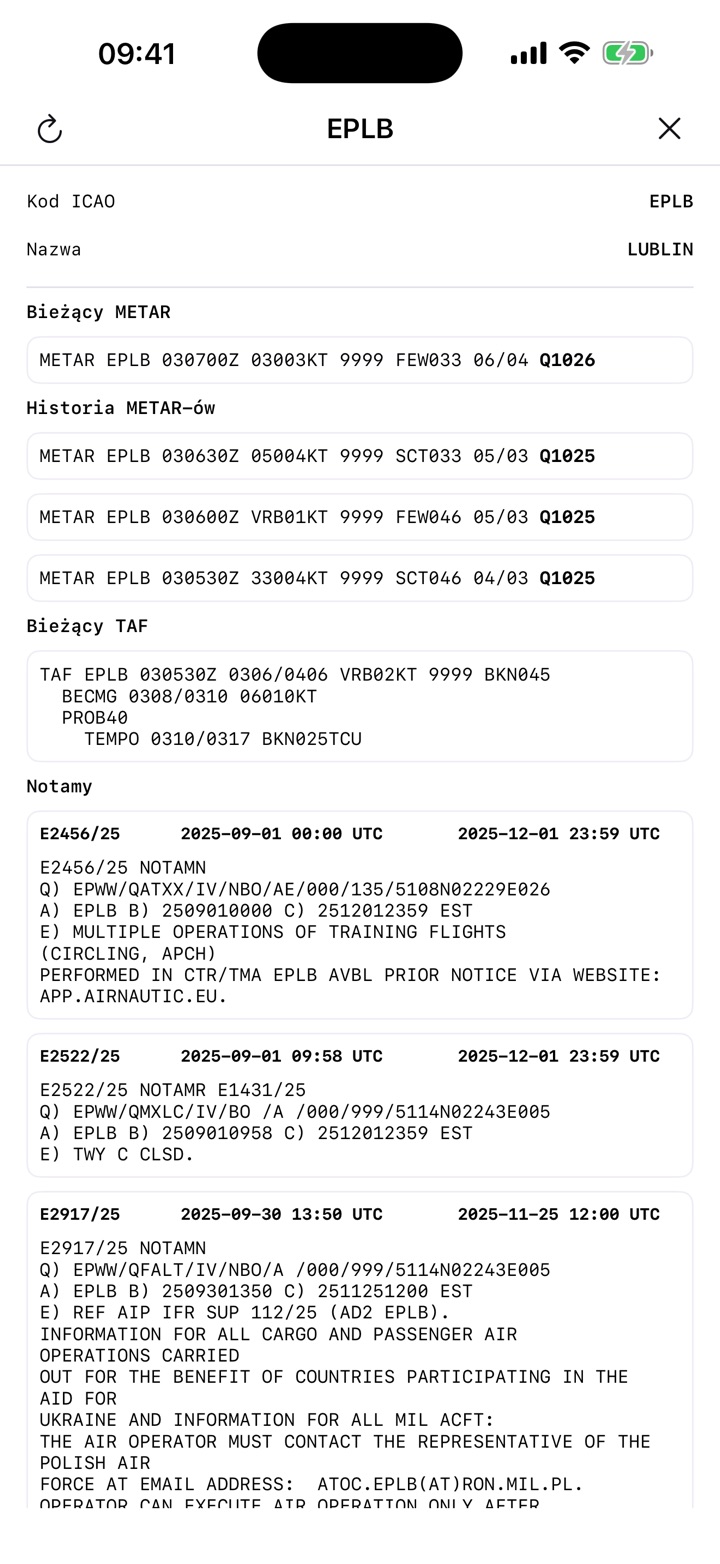
- METAR
- TAF
- SIGMET
- Low-Level SIGWX
NOTAM
NOTAMs for aerodromes and for areas relevant to the planned flight. They are grouped into three categories by time of effect, and the app remembers when you last read each one.
AIP
Access to the AIP documentation published by PANSA.
Route planning
- VFR routes built directly on the map
- aerodromes and navigation points as waypoints
- analysis of the airspace along the route
- import of a SkyDemon route (FLIGHT PLAN file)
2D route profile
Your route seen from the side, before you take off:
- terrain along the whole route
- zones on the route with their altitudes and activity times
- the 500 ft AGL line
- the MSA line
Fuel
- WARTER Aviation, AWIX OIL
- aero club and private stations
- points reported by pilots
- for selected WARTER stations — current price and quantity available
Flight mode
- GPS position on the map and on the 2D route profile
- tracking along the planned route
- track direction and navigation data
- a quick look at the airspace while flying
Data sources
- Airspace: airspace.pansa.pl
- Aerodromes, VFR points, ATZ, AIP: ais.pansa.pl
- METAR, TAF, SIGMET: aviationweather.gov
- Low-Level SIGWX: chmi.cz
- NOTAM: notams.aim.faa.gov
With many thanks to PANSA for permission to use their data, and to WARTER Aviation for the fuel information.
Important
AeroPlan is not an official product of PANSA, the FAA, CHMI, WARTER Aviation or any other provider of the data it uses.
The information presented in AeroPlan is supplementary. Before every flight, verify all relevant information directly with the official sources of the respective data providers and aeronautical information services.
The app is not intended for operational use, nor as the sole source of information used to prepare or conduct a flight.